This is Nibley’s only field monument of note, an Iron Age hill-fort constructed on the steep SW-facing scarp of the Cotswold hills, overlooking the Vale of Berkeley to the Welsh Hills and the River Severn, and commanding the approaches from that quarter at the considerable height of just over 195m OD. The fort is univallate except on its eastern side where an outer rampart and ditch cut off the spur on which the fort stands. The original entrance is midway along the southern side between the staggered ends of the rampart banks, but a subsidiary entrance though the outer eastern rampart towards its southern end leads also to this 3m wide original entrance. The construction was possibly in two phases, and it has been suggested that the presence of low causeways in the ditch indicate unfinished or poor workmanship. The inner rampart encloses about four acres. An investigation into reputed pit dwellings on the plateau to the NE took place in the 1950s when it was concluded that the hollows concerned were due to solifluxion. No other excavation has been undertaken.
Today the site is covered by trees, but the holloway leading steeply downhill to a reliable water source, the later Aewylme of Saxon date, is easily traceable from the original south entrance.
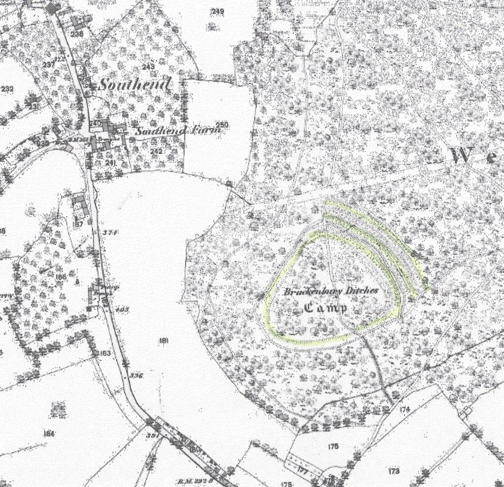
The fort shown on the 1844-1888 OS Map. The ditches have been highlighted.
